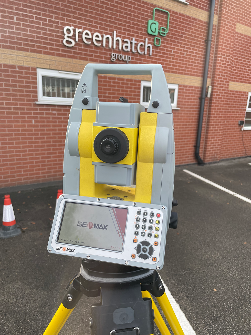
Case Study: Overcoming Remote Surveying Challenges with the GeoMax Zenith55
- GeoMax UK
- Mar 24
- 2 min read

Land surveyors working in remote locations often face major remote surveying challenges: a lack of reliable RTK network coverage. In such areas, achieving high-precision positioning can be difficult, requiring alternative solutions that maintain accuracy without sacrificing efficiency. A recent surveying project in a rugged, off-grid location demonstrated how the GeoMax Zenith55 GNSS smart antenna, with a UHF radio, provided a seamless and effective workflow.
The Challenge: Remote Surveying Challenges
A team of surveyors was tasked with mapping a large, undeveloped area for an upcoming infrastructure project. The site was far from urban centres, with limited mobile network coverage, making real-time RTK corrections via cellular networks unreliable. Without access to a stable network connection, they needed a solution that could:
Maintain high accuracy without relying on an RTK network.
Function in extreme environmental conditions.
Increase efficiency without requiring excessive manual adjustments.
The Solution: Zenith55 and UHF Radio
To address these challenges, the survey team deployed the GeoMax Zenith55 GNSS smart antenna, leveraging its advanced features to ensure accurate positioning. Key aspects that made the Zenith55 the ideal choice included:
1. Base and Rover Setup with UHF Radio
In the absence of an RTK network, the team established their own base and rover setup using the UHF radio, which corrects the RTK range up to 2-3km from the base.
The base station collected satellite data and transmitted real-time corrections to the Zenith55 rover, allowing the surveyors to achieve centimetre-level accuracy without requiring a mobile network.
2. Multi-Constellation Support and Tilt Compensation
The Zenith55’s 600+ channel capability enabled the device to track multiple GNSS constellations (GPS, GLONASS, Galileo, BeiDou, and more), ensuring a stable and precise signal even in challenging terrain.
The calibration-free tilt compensation allowed surveyors to take measurements without needing to level the pole, reducing setup time and improving efficiency on sloped or uneven terrain.
3. Rugged Design for Harsh Conditions
The IP68-rated waterproof and dustproof design made the Zenith55 highly durable, withstanding extreme temperatures and tough field conditions.
The robust build ensured continued performance even in remote, high-humidity environments where exposure to rain and dust was unavoidable.
Results and Impact
By utilising the Zenith55 and UHF radio, the surveying team achieved the following:
Reliable Accuracy: Achieved sub-centimetre precision despite the lack of an RTK network.
Improved Efficiency: The team completed the survey 25% faster compared to traditional manual methods, thanks to tilt compensation and an easy base-rover setup.
Reduced Downtime: The durable design meant fewer interruptions due to weather or environmental conditions.
For land surveyors working in remote locations without a stable RTK network, the GeoMax Zenith55, combined with the UHF radio, provides a powerful and efficient alternative. By leveraging multi-constellation tracking, tilt compensation, and a UHF radio, surveyors can maintain high precision and productivity, even in the most challenging environments.
Get in touch to see the Zenith55 in action


Comments